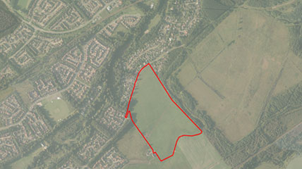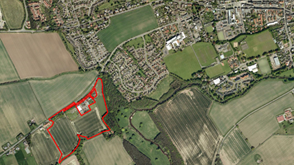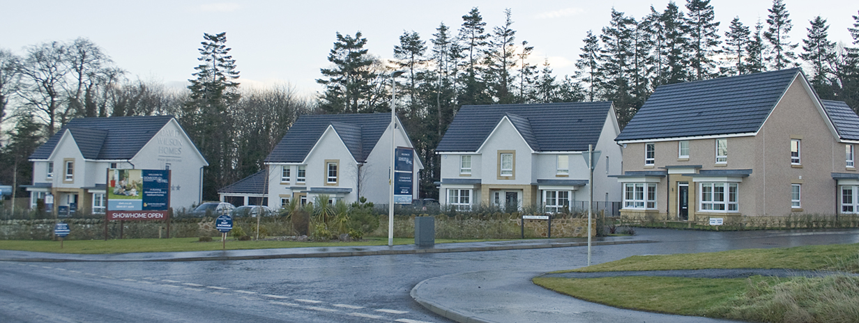
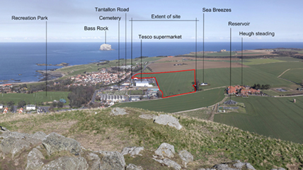
Tantallon Road, North Berwick
A comprehensive representation was made to the Main Issues Report which secured the site’s allocation in the Proposed Plan. Working in partnership with the Council, Planning Permission in Principle was secured for this proposal for 125 homes and two sites for Class 4 use in advance of the examination and adoption of the Local Development Plan (LDP).Through pre-application discussions with the Council, and providing the necessary technical information promptly to clarify impacts, a recommendation for approval was secured in three months.
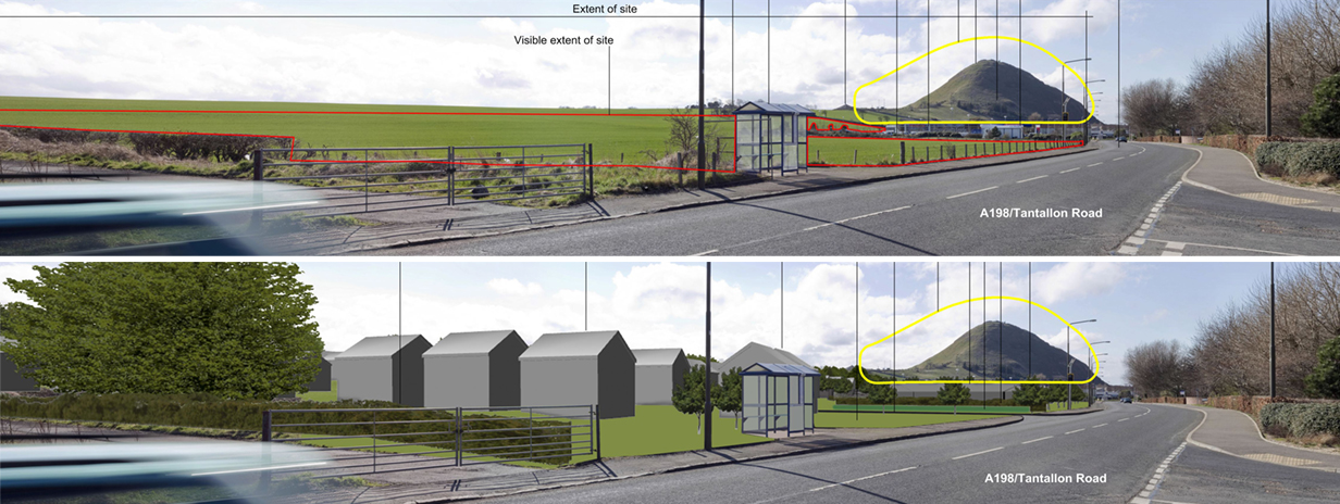
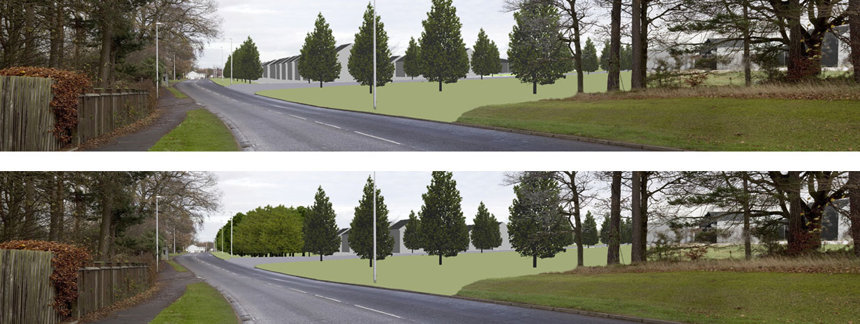
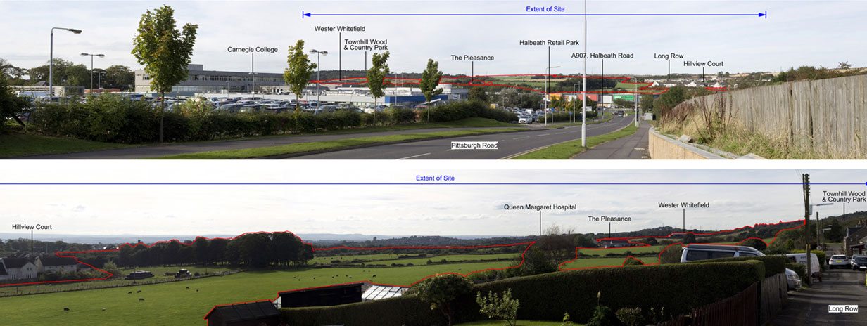
- Geddes produced the photomontages which clarified the proposal’s lack of impact on the setting of North Berwick Law
- Geddes successfully project managed the Application with 14 supporting statements and 6 consultancies
- The Application was submitted in September 2015 and with partnership working to meet consultation requirements, it was determined in November 2015
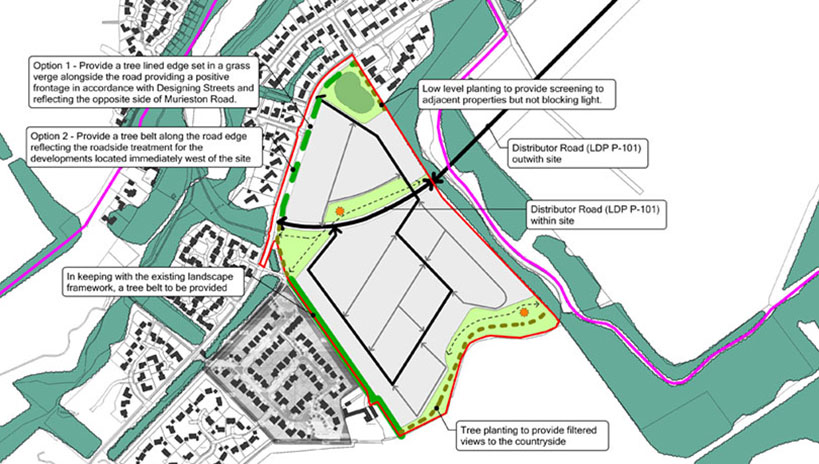
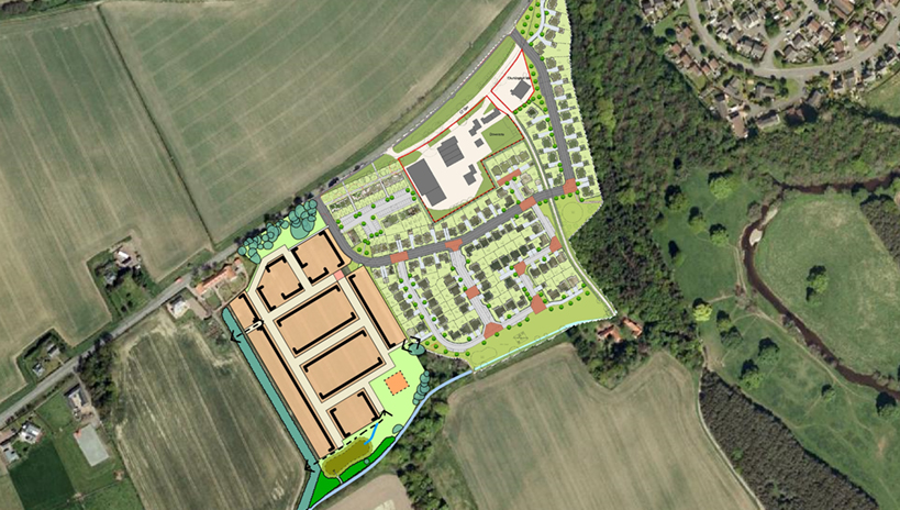
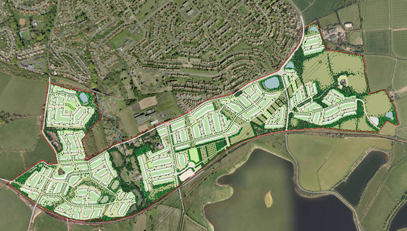
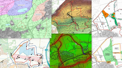
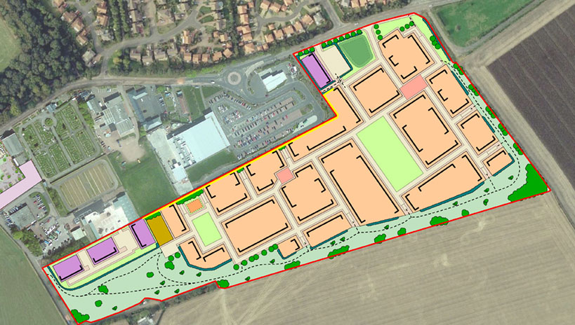
Indicative Development Framework for the site
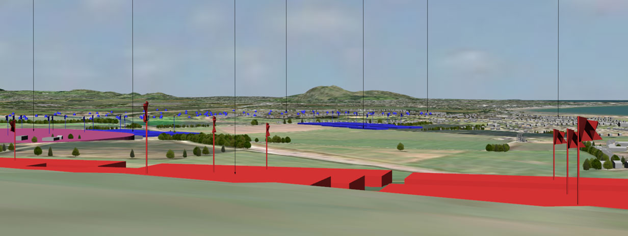
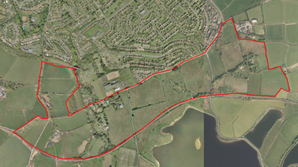
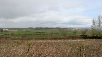
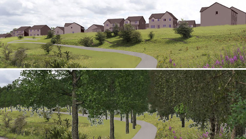
View of the site from North Berwick Law
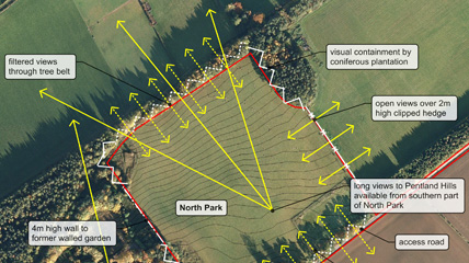
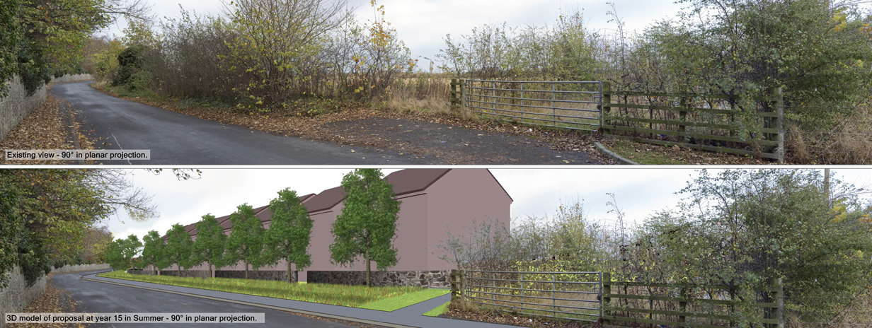
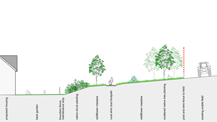
Section through the southern boundary
Photomontage confirming the site does not impact North Berwick Law