Battle of Pinkie (1547) Assessment
Geddes Consulting along with AOC Archaeology and Dr David Caldwell carried out one of the most comprehensive assessments in Scotland to clarify battle manoeuvres and establish the location of the fighting area for this Battle.
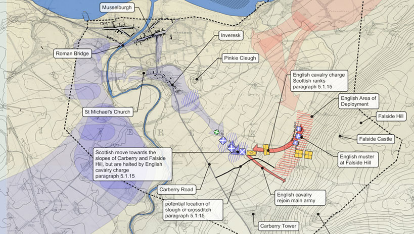
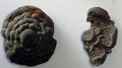
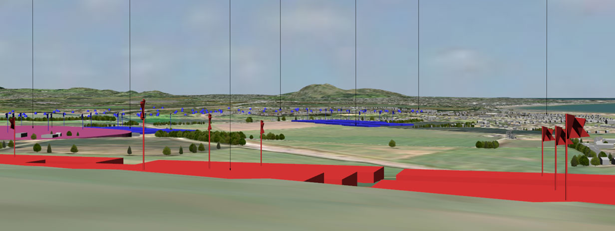
The combination of historical research especially about the period’s battle manoeuvres for both armies; 3D mapping and terrain modelling along with metal detecting resulted in new documentary evidence and new information on the recovery of battle related artefacts.
This made the case for the area of engagement for the Battle of Pinkie being to the south of the A1. Despite intensive archaeological research and fieldwork on areas highlighted as the core of the battle by Historic Environment Scotland, this up to date research indicates that the area to the north of the A1 is not the core of the Battle.
- Establishing the main fighting area to the south of the A1 enables appropriate action to be adopted to manage the correct site of the battlefield
- Establishing the location of the main fighting area enables appropriate impact assessments to be carried out across the battlefield
- Determining the correct battle manoeuvres allows Historic Environment Scotland to update and correct its Battlefield Inventory